A geologist finds his way in a fossil forest (and makes a map for the rest of us)

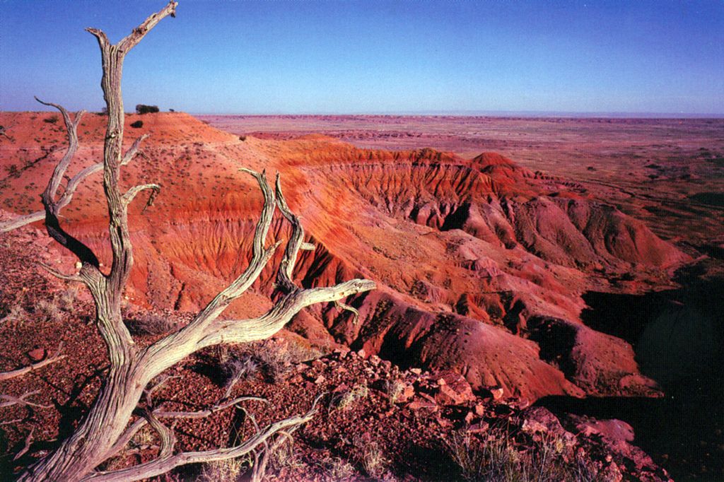
The rich colors and textures of Petrified Forest National Park represent millions of years of geological time, climate change, and peculiar plants and animals. Now you can find your way through these historic layers with the first digitized map of the region, created largely based on research published in a 2010 PLOS ONE study by William Parker and Jeffrey Martz.
In the winter of 2001, Parker had just found the remains of a large dinosaur in the park under a ledge of sandstone; the trouble was establishing when it had lived since existing geological maps were unclear on what period of time the rocks around him represented. Maps available at that time divided the park into two parts separated by a layer of sandstone called the Sonsela Member, but researchers had differing opinions about which bits of sandstone were part of this formation. Though several previous studies had tried to improve these maps, the changes they made on paper didn’t always match up to the real distances and measurements that field researchers encountered.
Parker and his colleague Jeffrey Martz began to map the Sonsela Member as accurately as possible, walking over large sections of the park to take their measurements. As Parker told the National Parks Traveler, his colleague Jeff Martz “literally wore his boots down to ‘sandals'” before they finished the project. The results of their study were published in 2010, one of the first strictly geology studies to appear in PLOS ONE.
PLOS ONE academic editor Andy Farke noted on his blog that their paper helped resolve several questions about the geological events that shaped the Sonsela Member. The research also provided additional explanation for a layer in the geological record that marks a sudden extinction of plants and animals, and has implications for further research studying this major event.
Perhaps most importantly, however, anyone interested can check whether their results are correct.
“One of the things we have tried to do with the PLOS ONE paper is to make our study completely reproducible”, Parker explained in his blog post. “To this end we have provided (and advocate that all future studies also do this) GPS coordinates as well as photos of all measured outcrops. (..) Furthermore, any proposed mistakes in our work can be easily verified or refuted by future workers by using the map. Very important!”
Their study from 2010 formed the foundation for a now-completed geological map that covers 93,000 acres of the park, and is freely available on the Arizona Geological Survey website. According to the National Parks Traveler, the new map is a “rock star” in geological circles, with over 1100 recorded site visitors in a week. Follow the trail back to where it began by reading the PLOS ONE study here. But if you still find yourself getting lost, it might not hurt to carry a carp on your next hike.
Citation: Martz JW, Parker WG (2010) Revised Lithostratigraphy of the Sonsela Member (Chinle Formation, Upper Triassic) in the Southern Part of Petrified Forest National Park, Arizona. PLoS ONE 5(2): e9329. doi:10.1371/journal.pone.0009329
Image: Owl Rock Member, Chinle Formation, Petrified Forest National Wilderness Area. (NPS) by PetrifiedForestNPS on Flickr